Senator Needleman Joins Essex Town Planner In Support Of GIS Expansion Bill
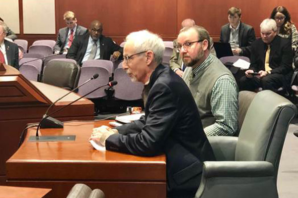
HARTFORD, CT – Today, State Senator Norm Needleman (D-Essex) joined with John P. Guszkowski, Essex Town Planner and Government Relations Officer for the Connecticut Chapter of the American Planning Association, to advocate for legislation Sen. Needleman proposed on streamlining access to geographic information systems across the state. If enacted, the bill would create a more overarching system of access for towns and cities to access the technology and benefit from its use.
Senate Bill No. 550, “An Act Concerning Geographic Information Systems,” would make geographic information system tools and software available to municipalities at a low cost. It was heard Wednesday at public hearing in front of the Planning and Development Committee.
Geographic Information System tools, also known as “GIS,” are digital maps and layouts of geographic areas that can be used by municipalities for a number of purposes, most commonly surveying and land usage planning.
While Connecticut is a small state, current GIS practices indicate that every town in Connecticut has a separate contract, and contractor, for individual use. This process is inefficient, as each town must negotiate separate contracts, and leaves some aspects of the technology unused. Individuals looking to compare geography in two bordering towns have to open two separate services to access it, even if the land is separated by just the town border.
“This is the recipe for poor planning, wasted and duplicative efforts, and a lack of cohesiveness in inter-municipal development and conservation efforts,” said Guskowski in testimony during the public hearing, speaking on behalf of the CCAPA. “It is impossible, under this current system, to know authoritatively, how far along we are, as a State, toward our various conservation and open space preservation goals.”
“Having the State take a leadership role in unifying and coordinating these efforts… is a relatively low cost way to facilitate a major step forward for Connecticut,” Guszkowski continued.
The Connecticut Conference of Municipalities additionally supported Senate Bill No. 550 on Wednesday. “Given the current budget situation and the prospect of additional reductions in state aid,” CCM said in written testimony, “municipalities are already being forced to consider increases in local property taxes or reducing current services, it is important to make access to the GIS technology affordable to municipalities. Such systems provide opportunities to find efficiencies in information exchanges on land use and other issues between state, regional and local planners and decision makers.”
“We don’t need to have 169 solutions to one common problem,” added Sen. Needleman. “A state-wide GIS system would control costs, allowing the state to negotiate on behalf of towns, and create a more efficient platform, reducing more than a hundred points of access into just one. That would allow towns and cities across the state to work together and collaborate, using this collected information to improve their communities and our state as a whole. I am happy to see the committee consider this bill, and I look forward to working in coming months to make sure it passes.”
Share this page: